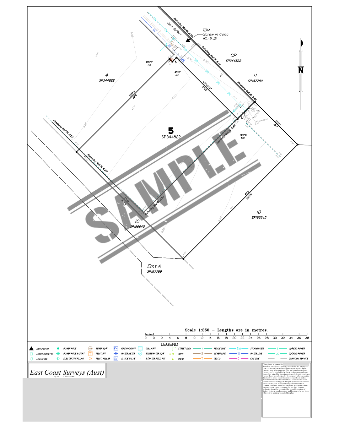
What is an Initial Site/Contour Survey?
An Initial Site/Contour Survey is the foundational map of your property showing boundaries, contours, and key features, used to guide design and construction decisions.
How Do I Obtain This Document?
1. Hire a licensed surveyor. Look for a surveying firm or registered surveyor experienced in residential or commercial sites.
2. Give your lot and plan number, property address, and any site-specific info.
3. Survey the site. The surveyor visits the property to measure:
- Boundaries and corners
- Existing structures (buildings, fences, driveways)
- Contours and levels
- Vegetation, easements, and services
4. Receive the survey report
5. You’ll get a formal survey plan showing:
- Site boundaries and features
- Topography/contours
- Any easements or restrictions
6. Use the survey for design and approvals
7. Architects, designers, and engineers use it for building design, DA, or building approvals.